
Drones and Flooding
OLYMPUS DIGITAL CAMERA
March 10, 2017
Do you enjoy building machines, hiking, or expanding your technological abilities? Drone club offers a unique opportunity to utilize UAF and Bear Creek Flood Board resources to develop all of the aforementioned skills and more.
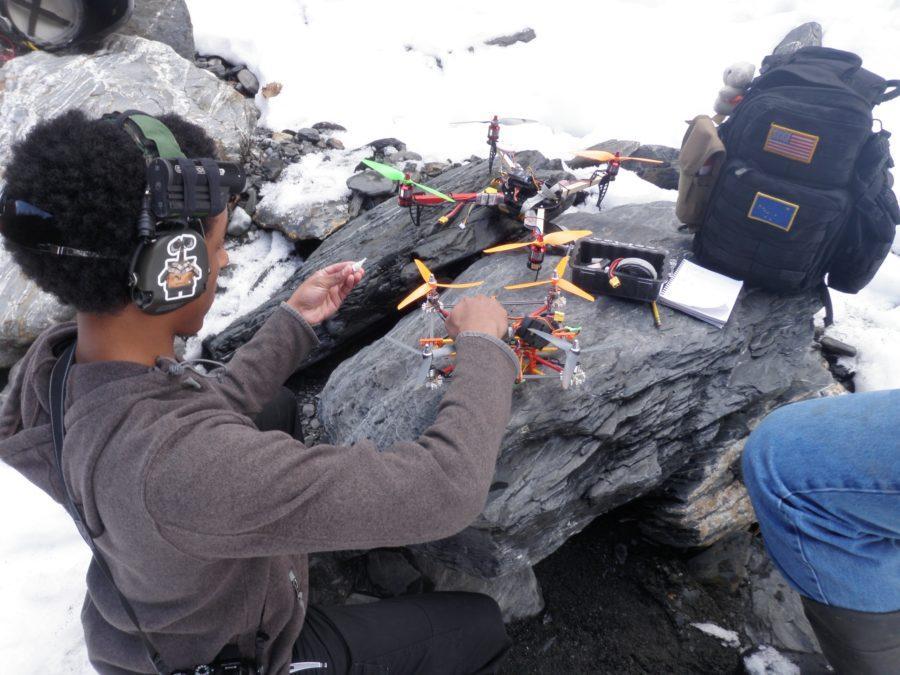
In the past three years, since its founding, the academic club has accumulated a hexacopter, increasingly efficient gopro cameras, and countless maps of Seward’s watersheds. In the past year alone, the club has been able to map Jap Creek, Resurrection River, Snow River, and Stoney Creek. The maps are created through pictures gathered by the gopro (with GPS) attached to the team’s hexacopter. The pictures are then sent to UAF, who puts the information through GINA (Geographic Information Network of Alaska), which stitches them together into a 3D map. These maps have been utilized by the Bear Creek Flood Board to analyze the changes in environment of these flood prone areas for better flood prevention.
Between mapping adventures, the club builds drones from components and practices their flying skills on both the simulator and their mechanisms. The club is planning on starting up again after spring break and is welcoming all those who are interested. The meetings are tentatively scheduled for right after school (2:20-3:00) on Mondays. If you are interested, contact Mr. Reising.